Types of Spatial Data
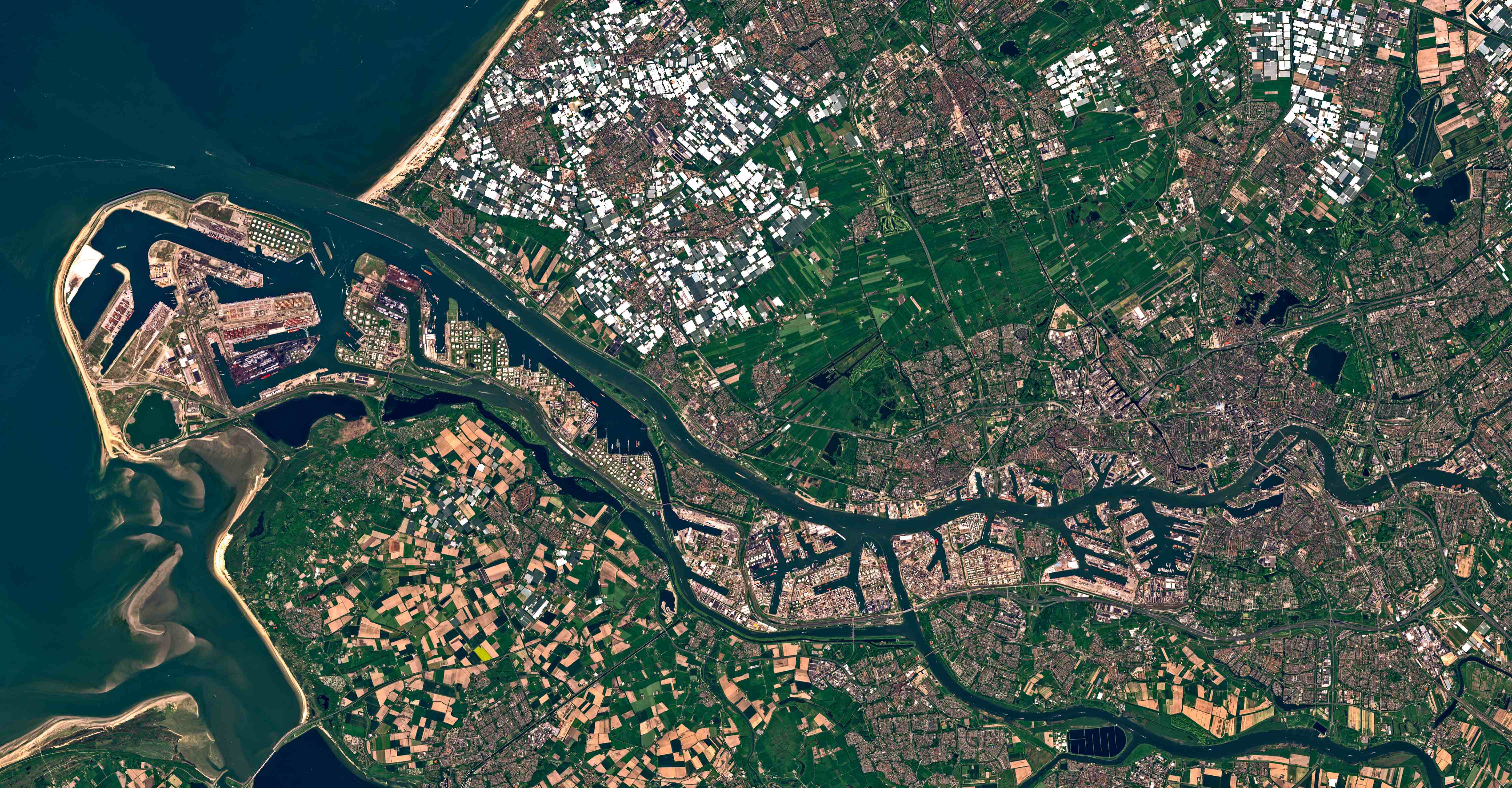
The center deals with a comprehensive set of spatial data types such multivariate points, rasters, shapefiles, sketches, gridded, and hyperspectral satellite imagery. The datasets we consider can range from small, decadal census surveys to those encompassing trillions of multivariate observations.

We include schemes for dispersion, indexing, spatially contiguousness, and replication schemes. We include support for query semantics that extend the relational query by including support for fuzzy predicates, Allen’s interval algebra, and proximity queries. Queries can also optionally specify geometry and temporal constraints. Our indexing structures include support for queries specified over arbitrary sized temporal windows (i.e., queries constrained over a contiguous chronological range) that can be made to slide over the dataset.

